Agricultural Satellite Imaging Systems

24 Ocak 2026 Çağla Altıntaş 13 görüntülenme
Tüm Yazılar

Agricultural Satellite Imaging Systems

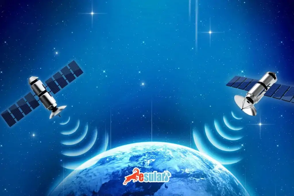
Agricultural satellite imaging systems are one of the technological tools that provide a revolutionary transformation in the agricultural sector. These systems continuously monitor and analyze agricultural lands through high-resolution satellite images obtained from space and other remote sensing technologies. In this way, they allow farmers to manage their fields more efficiently, optimize their agricultural activities, and adopt more sustainable agricultural practices. Satellite images provide comprehensive information about the general status of agricultural lands. Thanks to this information, farmers can plan their agricultural activities more effectively and optimize processes such as irrigation and fertilization. 

How Do Agricultural Satellite Imaging Systems Work?

Agricultural satellite imaging systems work through sensors that emit electromagnetic radiation from space toward the earth. These sensors can usually detect electromagnetic radiation in different wavelengths (for example, visible, infrared, and microwave). This radiation reflected or emitted from agricultural lands provides information about various features such as vegetation, soil structure, and water presence. The satellite detects this electromagnetic radiation coming from the earth and creates digital images. These images consist of pixels representing reflections at different wavelengths. For example, since vegetation has a higher chlorophyll content, it may show a more intense reflection in the green color. 

These obtained satellite images are analyzed through computer-based software. The pixels in the images represent elements such as vegetation, water resources, and soil types in agricultural lands. Technologies such as artificial intelligence and machine learning can also be used in these analyses. Experts can perform various applications in agricultural lands based on the analysis results. For example, they can evaluate the health of vegetation, determine irrigation and fertilization requirements, detect diseases or pests, and develop strategies to increase the overall productivity of agricultural lands.

uydu-goruntuleme

What Are the Benefits of Agricultural Satellite Imaging Systems?

Agricultural satellite imaging systems have a series of benefits:

  • Satellite imaging systems provide detailed analysis of agricultural lands, offering valuable information to farmers on increasing their productivity. By monitoring plant growth, it optimizes water and fertilizer use and increases harvest yield.

  • Satellite imaging systems can detect diseases and pests in agricultural lands early. In this way, farmers can prevent crop losses by intervening in time and reduce the use of chemical pesticides.

  • It ensures more efficient use of water, soil, and other natural resources in agricultural lands. In this way, environmental impacts are minimized and sustainable agricultural practices are encouraged.

  • The analyzed data provides support to farmers and agricultural experts in decision-making processes. It enables informed decisions on many issues such as the creation of agricultural policies, harvest timing, and irrigation schedules.

  • It works more quickly and cost-effectively compared to manual monitoring and analysis of agricultural lands. In this way, it saves time and labor.

  • Satellite imaging data can be integrated with other agricultural technologies and systems. For example, these data can be integrated with automatic irrigation systems to optimize water use. You can contact us for more detailed information on this subject. https://esular.com/akilli-sulama-sistemleri

In addition to these benefits, agricultural satellite imaging systems have become an important tool for providing more reliable and sustainable production in the agricultural sector.

Sulama-asistanı-esuların-avantajları

What Are the Contributions of Satellite Imaging Systems to Agriculture?

These systems enable the expansion, analysis, and expansion of agricultural lands with high-resolution images obtained from space and remote sensing technology. Detailed maps of agriculture can be created with the data obtained from satellite images thanks to their advanced software. These maps help in optimizing agricultural policies and increasing productivity. Additionally, satellite imaging systems offer important information to farmers through free circulation such as plant health, water use, soil conditions, and probability spread. Thus, it is ensured that farmers' agreement is better combined and effectively managed. 

However, it also plays an important role in the water structure of satellite storage systems. By optimizing irrigation products, water resources can be used more efficiently and waste is prevented. This contributes to the spread of environmentally friendly agricultural practices and the protection of natural plants. Satellite systems are also of great importance in terms of global agricultural monitoring. Monitoring agriculture worldwide and determining trends play a critical role in global food security and the planning of agricultural policies. Imaging satellite systems contribute to maintaining the agricultural sector in a more sustainable, efficient, and environmentally friendly way, helping to create a more livable world for future generations.

uydu-destekli-tarim

Yorumlar

Daha Fazla İçerik İster misiniz?

Akıllı tarım hakkında en güncel içerikleri takip edin.